Written by the Agricultural University of Athens
Farming is becoming increasingly data-driven, and satellites are already transforming how crops are monitored. They provide frequent information on crop development, soil conditions and vegetation stress across large areas. However, a satellite image may show that part of a field is under stress without clearly revealing whether the cause is water shortage, nutrient deficiency, disease, weeds, soil variability or simply a cloudy pixel.
This uncertainty matters, as a wrong interpretation can lead to irrigation where it is not needed, missed early stress symptoms or unnecessary fertiliser applications. Clouds, atmospheric conditions, mixed pixels and within-field variability can also make it difficult to understand exactly what is happening on the ground.
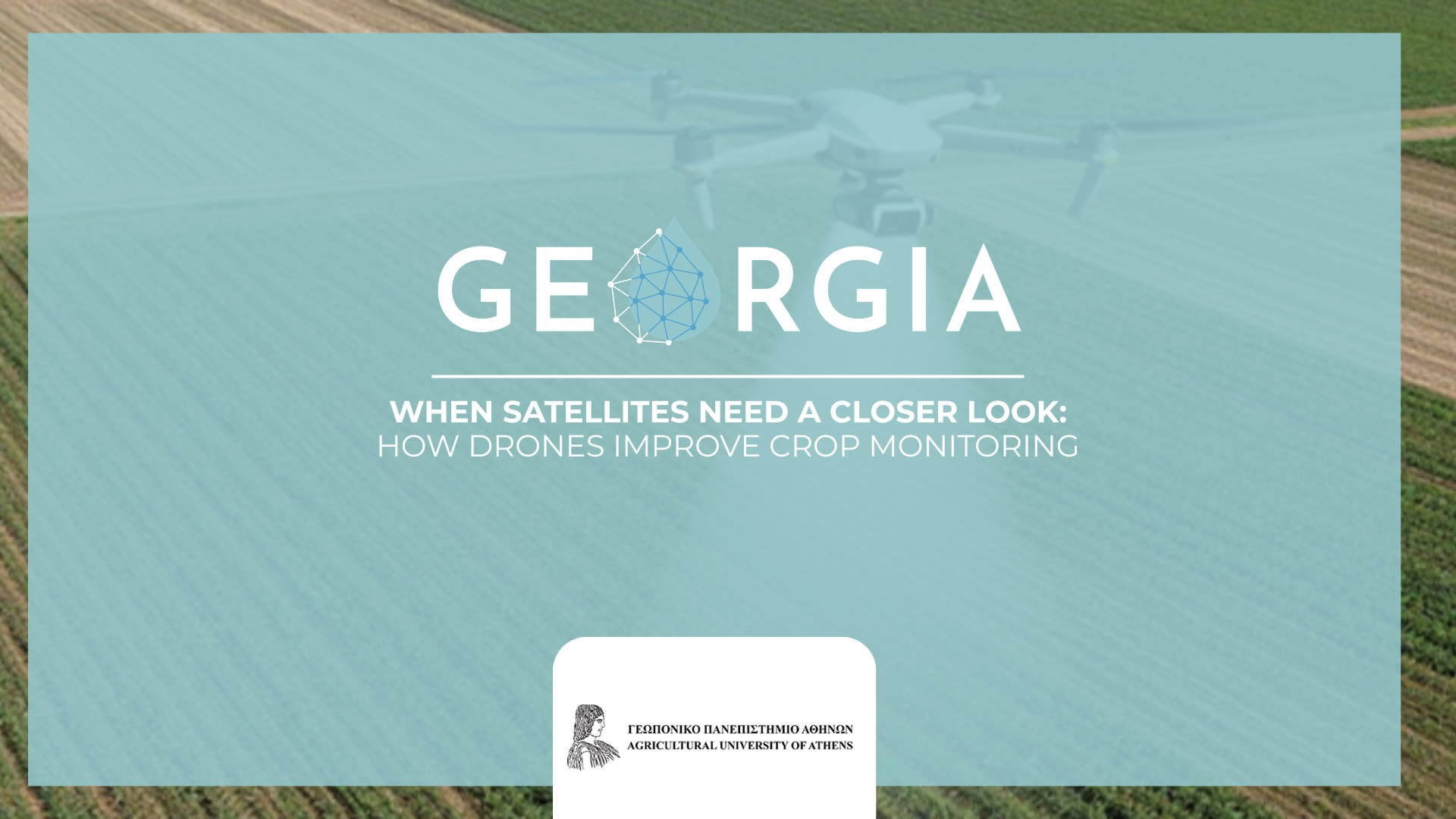
This is where drones add real value. Flying much closer to the crop, drones capture high-resolution images that help confirm, refine and validate what satellites observe from space. In the Проект GEORGIA, this connection between satellite Earth Observation, drone imagery and ground-based sensor data is central to developing reliable digital tools for smarter irrigation and crop management.
Why is validation needed?
Remote sensing is powerful, but it needs ground truth. A satellite map may show that part of a field has lower vegetation vigour, but it cannot always explain why. The reason could be water stress, nutrient deficiency, disease pressure, soil compaction, weeds, or simply an image artefact. Drone flights help narrow this uncertainty by providing a second layer of information at much finer detail.
For example, a satellite image can identify zones that look different within a field. A drone can then fly over those zones and reveal whether the difference is linked to crop density, canopy colour, bare soil, irrigation patterns or early stress. This makes drone data a practical bridge between broad satellite monitoring and actual field conditions.
From field maps to better decisions
Drones equipped with RGB, multispectral or thermal sensors can support several farm decisions. RGB imagery provides detailed visual information on crop cover, gaps, weeds and visible symptoms. Multispectral imagery captures specific light bands, including red-edge and near-infrared, which are useful for vegetation indices such as NDVI and NDRE. These indices help assess crop vigour, chlorophyll status, biomass development and possible nutrient stress. Thermal imagery, where available, can add information on canopy temperature and water stress.
When drone data are compared with satellite data, farmers and technical teams can better understand whether satellite-based recommendations are reliable. This is especially important for irrigation and fertilisation. A validated vegetation map can support variable-rate irrigation, targeted fertiliser application and more focused field inspections. Instead of treating the whole field as uniform, farmers can respond to specific zones that actually need attention.
A practical validation workflow
A simple workflow can be used. First, satellite data are used to create a field-scale map showing crop variability. Second, representative zones are selected, such as high-vigour, low-vigour and intermediate areas. Third, a drone flight is carried out over these zones, preferably close to the satellite acquisition date. Fourth, the drone images are processed into maps and compared with the satellite data. Finally, the corrected or validated information can be used in decision-support systems, digital twins or farm management platforms.

This workflow does not replace field knowledge. Instead, it strengthens it. Farmers still understand their fields best, but drone and satellite data can help make that knowledge more precise, timely and measurable.
Benefits for irrigation, fertilisation and sustainability
For irrigation, drone validation can help identify dry or stressed zones before yield losses become visible. For fertilisation, red-edge and chlorophyll-related indices can support nitrogen-status assessment and help avoid unnecessary applications. For crop protection, repeated flights can reveal spatial patterns that guide targeted scouting and spraying. Across all these uses, the main benefit is the same: better information leads to better decisions.
This is particularly relevant under climate change, where rainfall is less predictable and water resources are under pressure. Combining satellites, drones and ground sensors can help farmers monitor crops more frequently, reduce uncertainty and improve the efficiency of water, fertilisers and labour.
Challenges and GEORGIA’s project vision
Drone-based validation also has challenges. Good results require suitable flight planning, correct timing, image calibration, processing skills and clear data storage. Regulations, weather conditions and battery capacity also need to be considered. For larger farms, drone services or cooperative ownership models may be more practical than each farmer operating alone.
Within GEORGIA, the next step is to use drone data together with satellite information, field sensors and farmer observations to support reliable, practical decision-making. The goal is not to rely on one data source, but to combine them intelligently: satellites for broad and regular coverage, drones for high-resolution validation, and sensors for continuous ground measurements. Together, these tools can help agriculture move from observation to action, making irrigation and input management more precise, resilient and sustainable.